What a Bortle Map Doesn't Tell You Until You're Standing in the Yard
The map said Bortle 6. The actual sky over the fence line said something closer to a bright 7. A note on trusting the map less than the horizon.
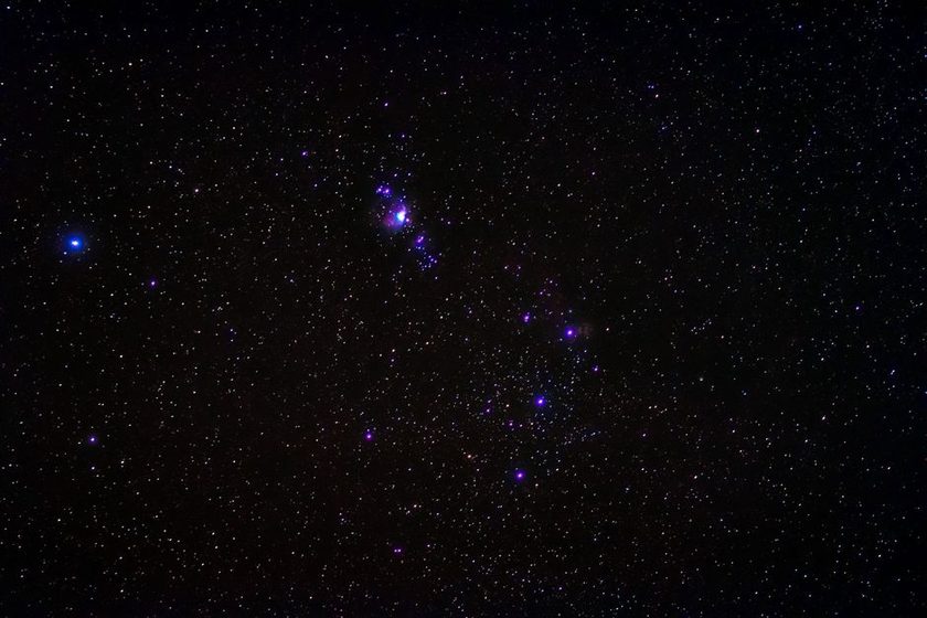
The same yard, four directions, four noticeably different skies — none of them a perfect match for the single number on the overlay.
The map on my phone has said Bortle 6 for three years now, ever since I pinned this address into a light-pollution overlay and watched the color settle into a dull orange-green under the marker. I believed it for about a season. Then I started logging what I could actually see from the same spot, night after night, and the number stopped agreeing with the sky. Not by a little. Overhead, on a clear night with the porch lights off, the map's Bortle 6 holds up close enough to trust. Toward the strip mall two blocks south, the same yard behaves like a bright 7, worse on humid nights when the glow sits low and spreads sideways instead of climbing straight up. The map gave me one number for the whole address. The yard gave me four different skies, one per direction, and only one of them matched the label I'd been planning around.
What the Number on the Map Actually Measures
Most consumer light-pollution maps report a single Bortle class per location, and that class is usually derived from satellite-measured upward radiance — data like the VIIRS day-night band, averaged and modeled into a color overlay. It's a genuinely useful figure. It was never built to describe a fence line block by block; it describes a broad glow dome, estimated for roughly overhead conditions and smoothed across a wide area. A single number standing in for zenith brightness across an entire zip code was always going to disagree with what one specific yard, facing one specific set of streetlights, delivers on any given night.
What "Bortle" Actually Names
The scale is named for John Bortle, an amateur astronomer who published it in Sky & Telescope in 2001 as a nine-step description running from an excellent dark-sky site (class 1) to an inner-city sky (class 9). It was written as a naked-eye, whole-sky comparison for observers trading notes — not as an automated per-address forecast. The satellite-derived maps in wide use today are a later, separate layer: they estimate where a location probably sits on Bortle's original ladder, using modeled radiance instead of an actual observer's eyes.
Why the Yard Disagrees With the Map
Sky glow isn't uniform, even from a single point on the ground. It behaves like a dome that's brightest low on the horizon, right where the actual light sources sit, and darkest overhead, where the sightline passes through the least amount of that glow-scattering air. A floodlight on a neighbor's garage two houses down can wreck one entire quadrant of usable sky, while the opposite direction — facing a treeline, or a parking lot that cuts its lights after midnight — reads a full class or more darker. The map's single number lands somewhere in the middle of all that. Standing in the yard is how you find out which slice of the average you're actually getting tonight.
A Bortle map describes a neighborhood. Your fence line describes one yard, at one moment, facing one direction — and that's the sky you're actually planning a night around.
Reading the Sky by Direction, Not by Number
The fix costs nothing and takes about five minutes, done once and then repeated whenever something in the neighborhood changes — a new streetlight, a sign that gets brighter, a tree that comes down. On a clear, moonless night:
- Face north, let your eyes sit for a full minute, and note where the horizon glow actually starts climbing.
- Turn and repeat for east, south, and west — anywhere you might reasonably point a scope or a pair of binoculars.
- Write down which directions hold close to what the map promised, and which clearly don't.
- Redo the walk after any obvious change nearby — new signage, a remodeled porch light, a felled tree.
That short walk turns one map number into a personal direction chart, which for actual planning purposes is worth more than the overlay ever was.
What the Bands Actually Looked Like Here
None of this makes the Bortle scale useless — it's still the right first search when scouting a spot from a chair, before ever driving anywhere. It just needs pairing with a local reading. Here's how the reference description for each nearby class compares with what a season of logging turned up at this address, direction by direction:
| Bortle Class | Reference Description | What I Actually Notice Here |
|---|---|---|
| 5 | Suburban sky; Milky Way washed out near the horizon | Only the north quadrant, over the greenbelt, gets close on a dry night |
| 6 | Bright suburban; Milky Way essentially invisible | The zenith, most of the year, once porch lights are off |
| 7 | Suburban/urban transition; glow visible in most directions | The rough average across the whole yard once the strip-mall sign is lit |
| 8 | City sky; mainly bright stars and planets visible | Facing the strip mall directly, any night, any season |
What This Actually Changes on a Given Night
Once the direction chart exists, planning stops being about the address's single Bortle number and starts being about which quadrant is dark tonight, for whatever's currently up there. A target culminating near zenith on a calm, dry night lines up with the closest thing to the mapped number this yard gets. The same target rising low in the glow-heavy quadrant is fighting conditions closer to a full class worse, regardless of what the overlay says for the zip code. The afternoon-before checklist already covers most of this ground — moon phase, transparency, what's actually up — and the direction chart slots in as one more line, checked once and reused all season. It's also why a target that reads as barely workable from one direction, like hunting the Orion Nebula through a wall of streetlight, can still turn up a real result once it's aimed at the yard's actual dark quadrant instead of its average one.
A Note on What a Season of Logging Can and Can't Prove
This is one yard's record, kept with a phone and a notebook rather than a calibrated sky-quality meter — the direction differences described here are consistent enough to plan around, but they remain an observer's log, not a formal survey. A single night that doesn't match the map isn't evidence the map is wrong. A gap that repeats by direction and by season is the kind of thing worth writing down.